

Faster delivery. More accurate models.
On average, a reconstruction job takes 4.5 hours, including 2 hours of expert review. Your team gets an editable CAD or BIM model sooner, with fewer corrections to make.

Contact us



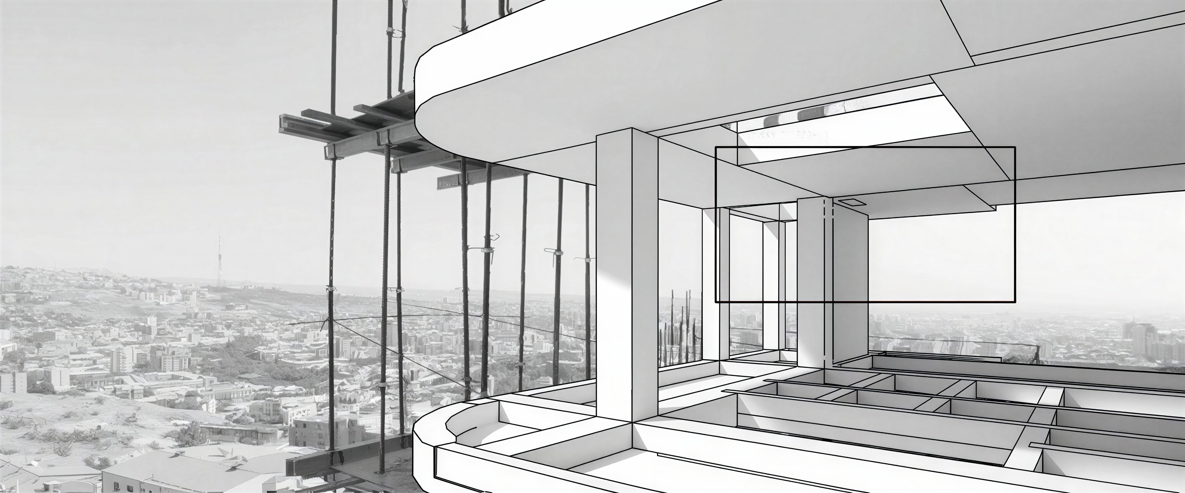
We turn photos, video, LiDAR scans, and point clouds into lightweight, editable CAD or BIM models tailored to your workflow.
Faster delivery. More accurate models.
On average, a reconstruction job takes 4.5 hours, including 2 hours of expert review. Your team gets an editable CAD or BIM model sooner, with fewer corrections to make.
Built around your workflow
We tailor the pipeline to your capture data, software, and accuracy requirements. Book a demo to see the results on your data before deciding on anything larger.
One team from setup to upkeep
We handle integration, check the geometry, and resolve discrepancies before delivery. As your project evolves, we can update the models and adapt the workflow.
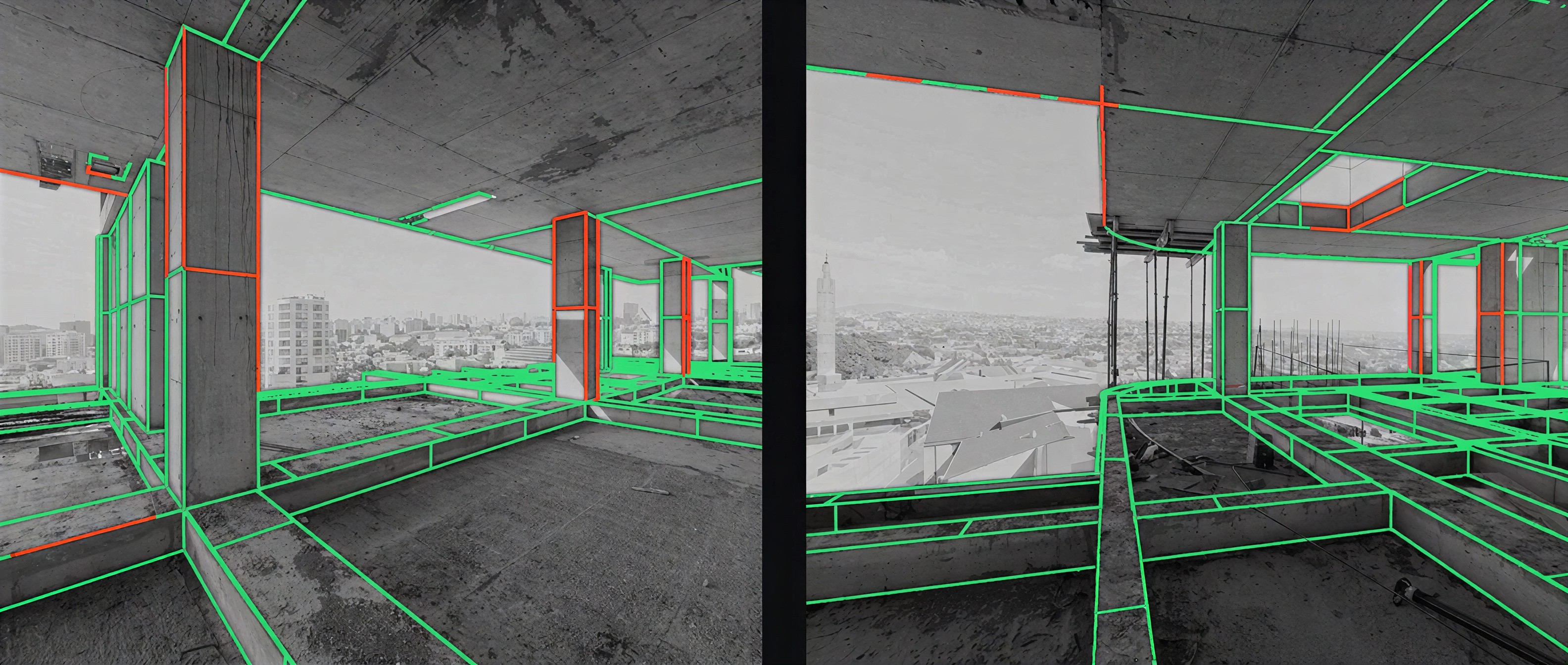
Architecture & construction
Capture a site at different stages and compare the models over time to document what’s been built and what’s changed.
Compare captured geometry with the design model to flag potential clashes, missing elements, and installation deviations.
Engineering & infrastructure
Reconstruct pipe networks, compressor skids, and other infrastructure as editable CAD models for engineering and retrofit work.
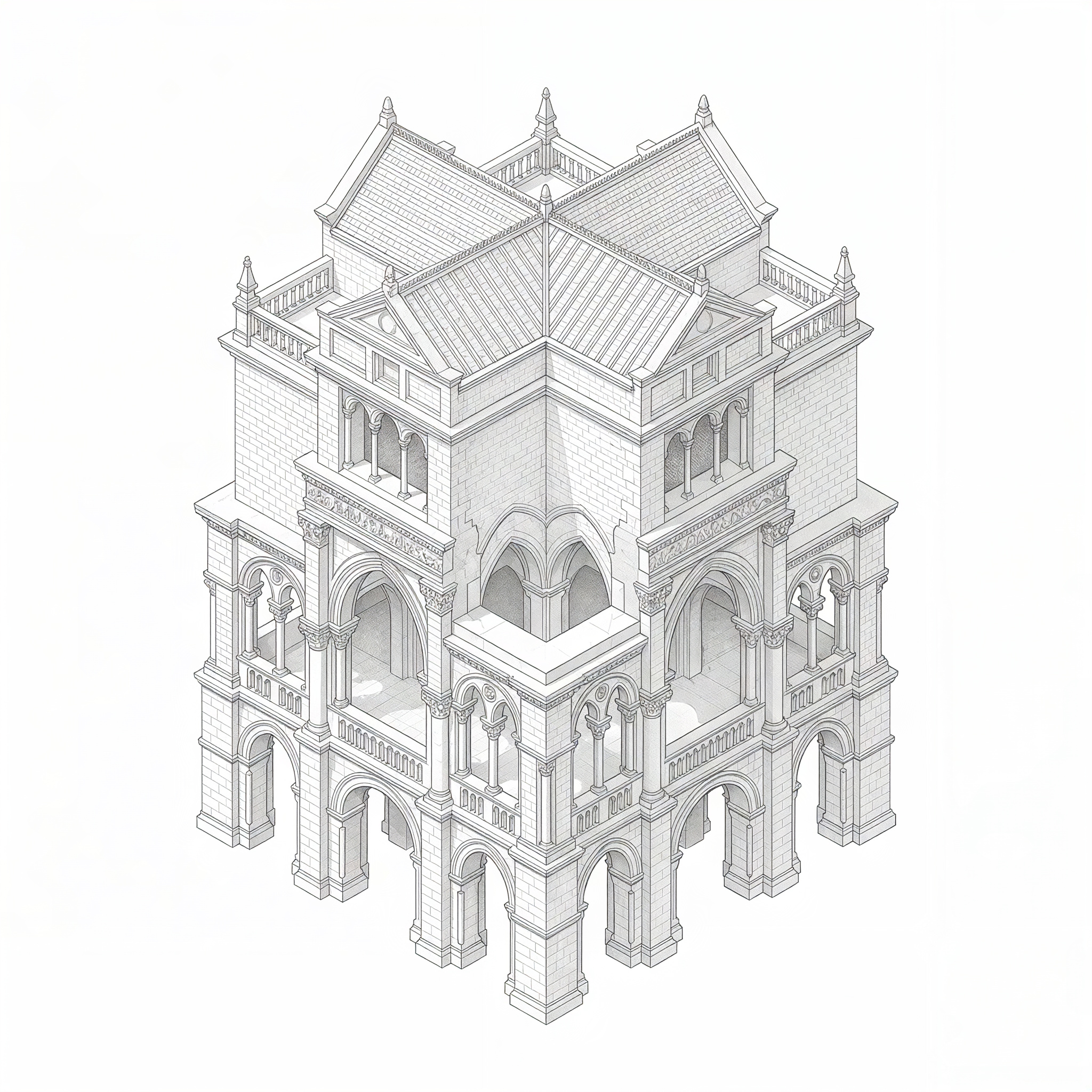
Architecture & construction
Create measured records of monuments, historic buildings, and sites using current captures and archival material to support conservation and restoration.
Building management
Build a consistent 3D record across buildings, facilities, or networks so teams can plan maintenance and update models as assets change.
Engineering & infrastructure
M:3L Tech turns scans into lightweight scenes with collision boundaries, topological cleanliness, and physical material parameters.
3D CAD RECONSTRUCTION / BIM / DIGITAL TWINS
01
Scanning your space
Already have scans? Send them over. If not, we can scan your space for you in several countries – contact us to check availability. We work best with 360 camera videos, point clouds with photos, or other posed photography.
02
Custom 3D Reconstruction Setup
We work with your team to define what needs to be modeled, how accurate it needs to be, and which formats you use. Then we tailor the pipeline to your inputs and workflow. The whole process takes several hours without human supervision.
03
CAD & BIM Model Delivery
We check and correct the reconstructed geometry before delivering lightweight, editable CAD or BIM models in your required formats, following your conventions.
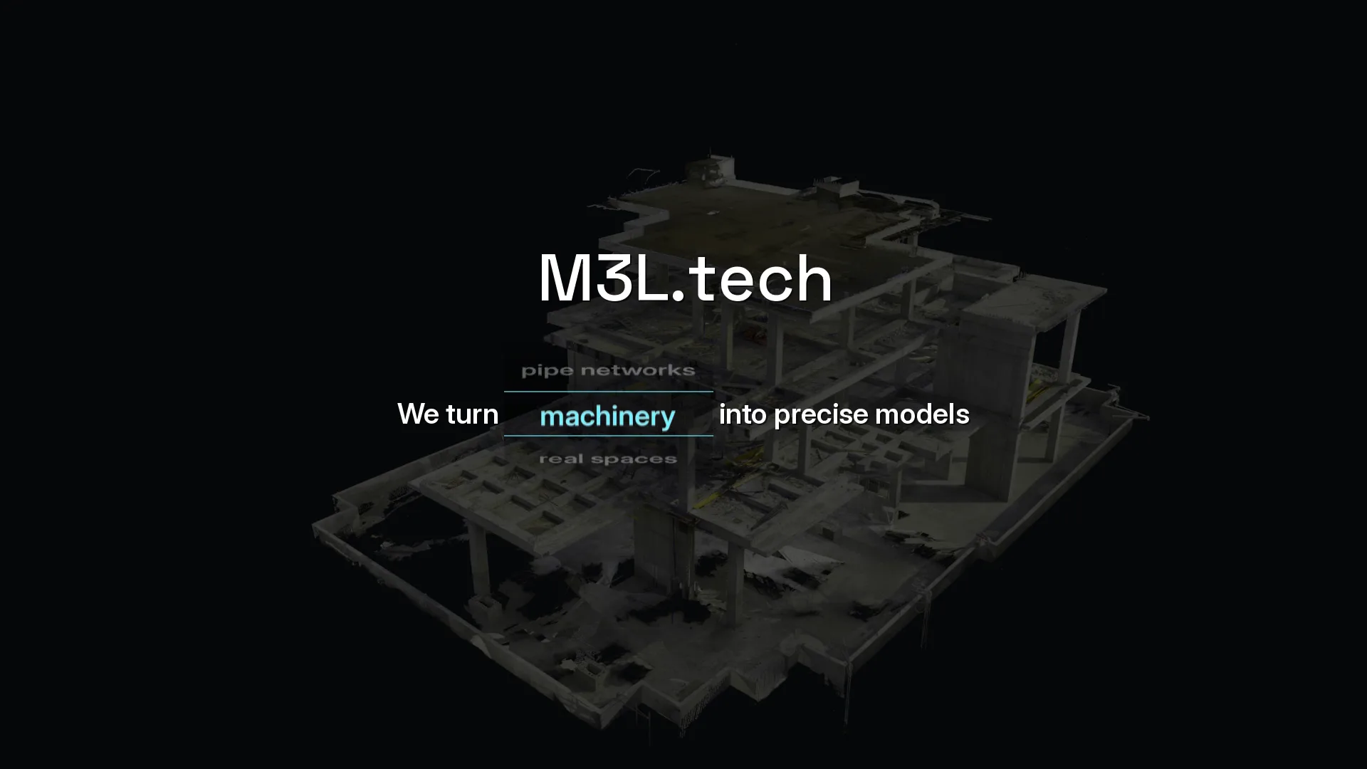
M:3L Tech delivers state-of-the-art 3D reconstruction, built by a strong AI team with a proven academic record: four recent papers at top-tier venues (ICLR 2026 Oral, CVPR 2026, ICRA 2026, ACL 2026) and years of leading results on the main benchmarks for CAD reconstruction, 3D detection and indoor scene understanding. Our pipeline is the fastest available to date: in the demo, it converts 2,500 m² of an active construction site into an editable BIM model in 1.5 hours, and the model integrates with BIM platforms such as Archicad and Revit.
3D CAD RECONSTRUCTION / BIM / DIGITAL TWINS
Explore how M:3L turns phone captures, point clouds, and other survey data into measured, editable CAD and BIM models.
01
Architecture & residential
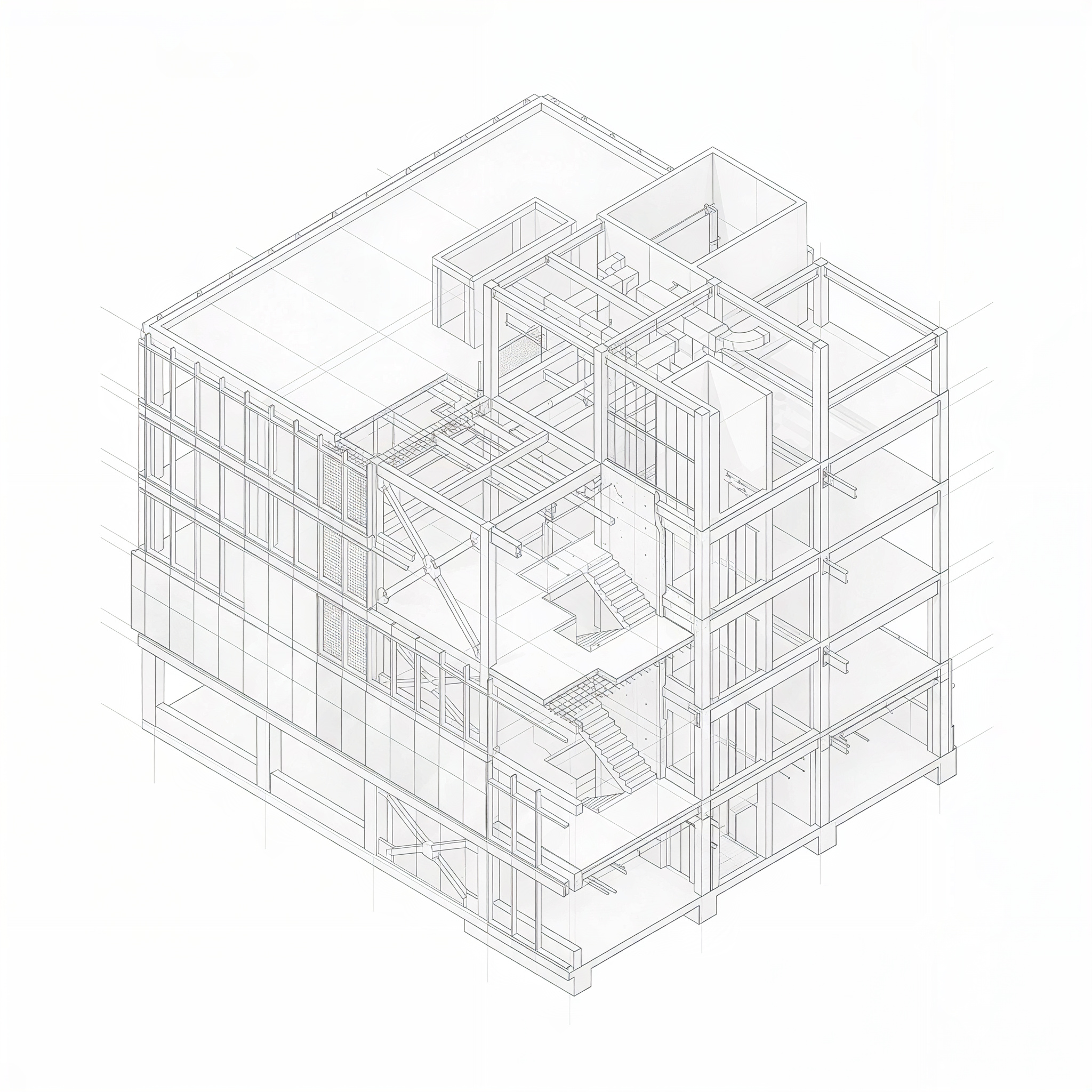
02
Industrial engineering
03
Construction and building management
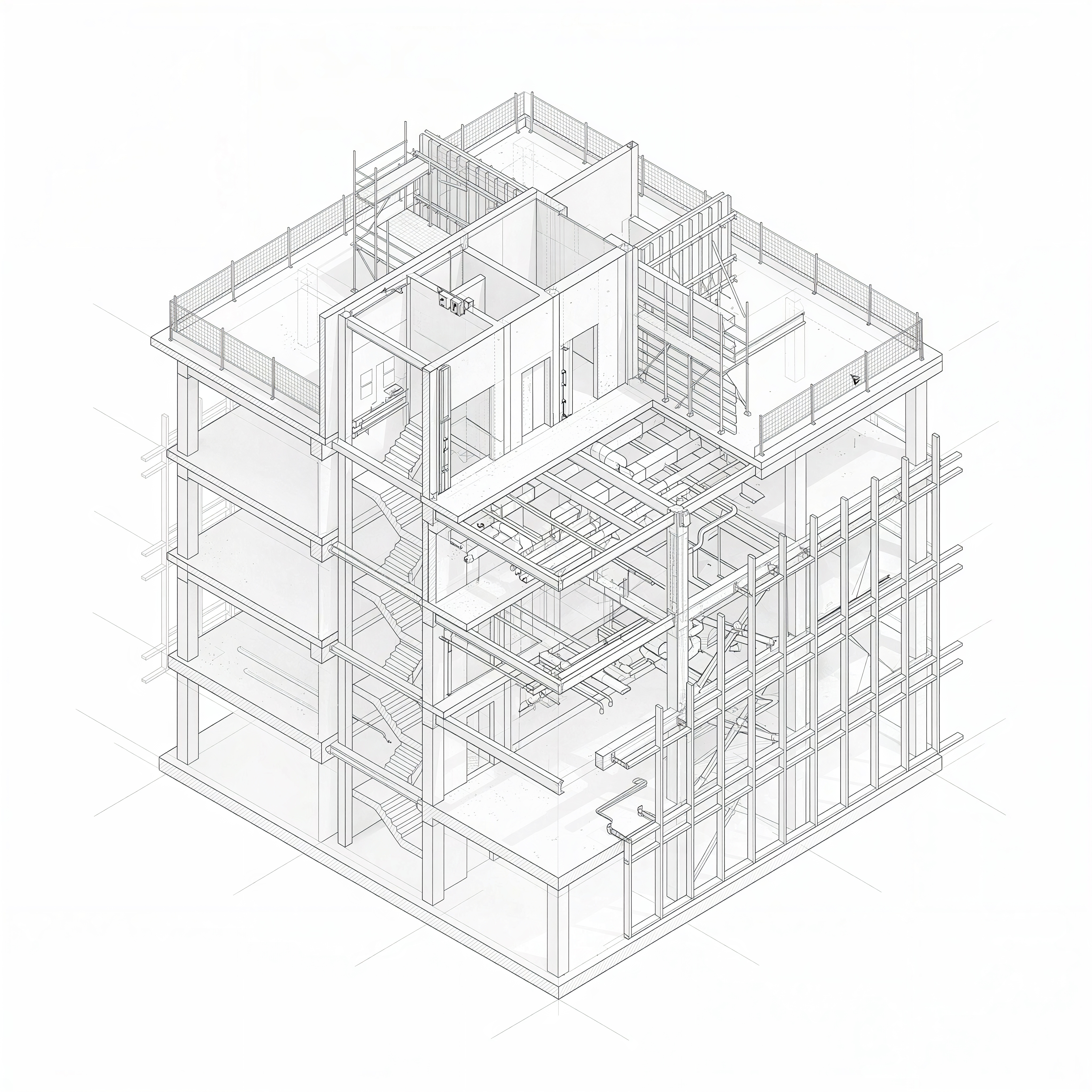
04
Heritage & conservation
State-of-the-art 3D reconstruction, backed by published results
For years, our team has been behind the top results on the main benchmarks for CAD reconstruction, 3D detection and indoor scene understanding. Our latest solutions are integrated into the models we deliver.



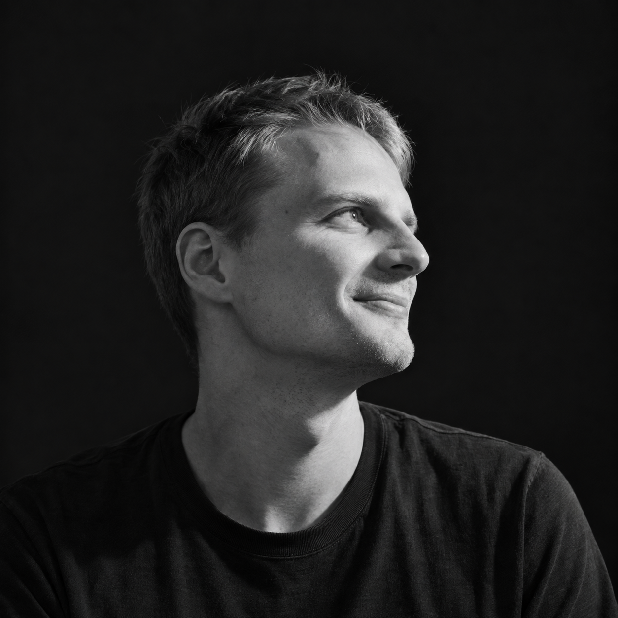
Research
Former AI researcher at Google/London. Research specialties include 3D computer vision and reconstruction, parametric CAD reconstruction.
 danila.rukhovich

Architecture & BIM
Architect, BIM and parametric design expert. PhD in AI for architectural design.
arpi.mangasaryan
AI Engineering
Brings our research into production by building custom AI pipelines on client data.
david.aznaurov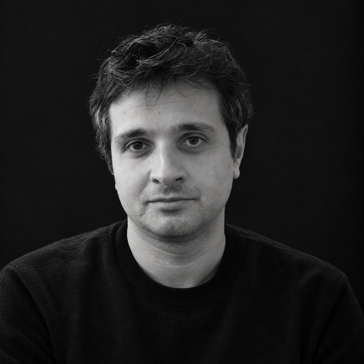
Industrial Engineering
Lead Researcher at Siemens and Senior Researcher at the Institute of Mechanics, NAS RA. Industrial CAD and physical simulation.
davit.piliposyan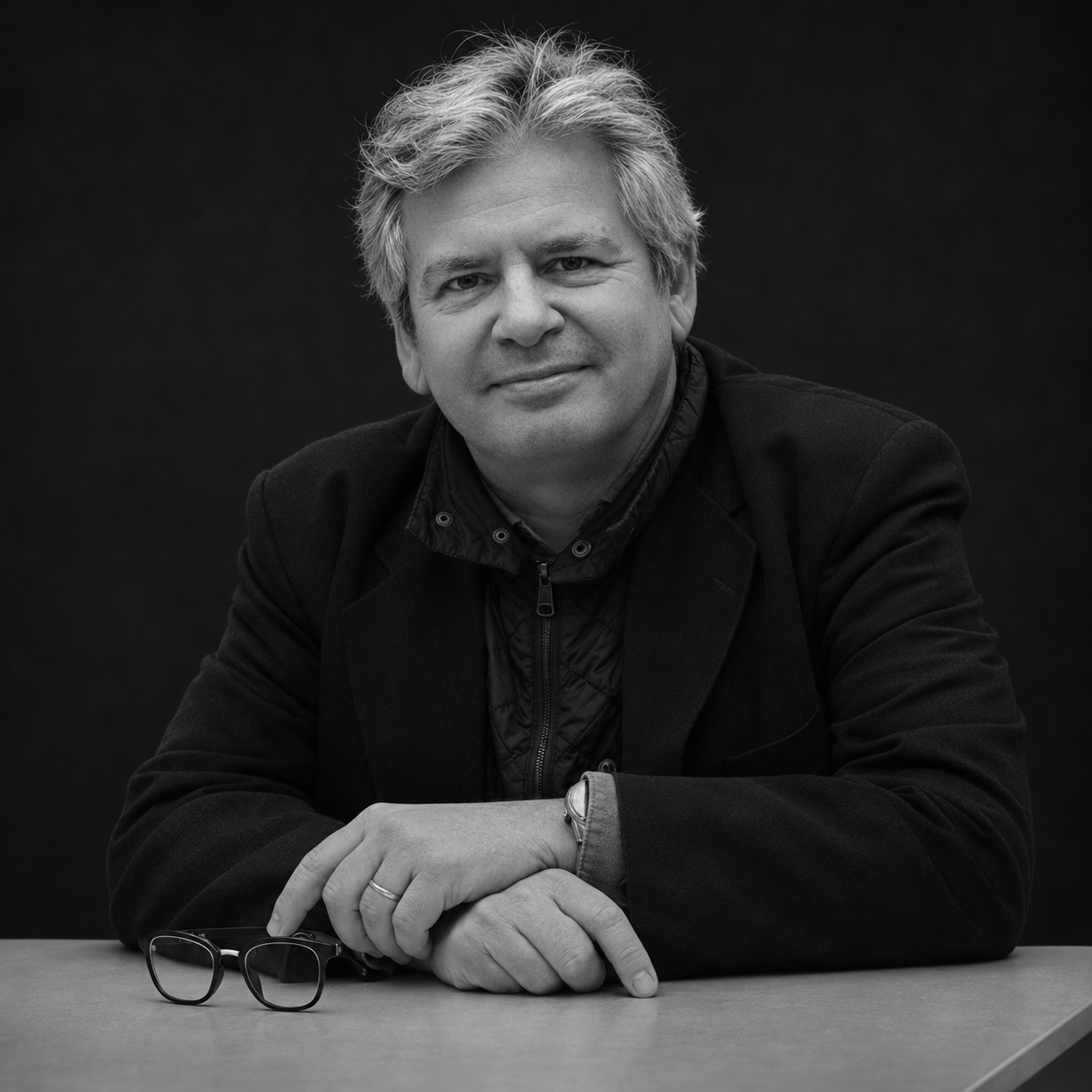
Advisor
Professor at ENSA Nantes specializing in digital architectural representation, photogrammetry, 3D documentation of built heritage, and immersive visualization.
laurent.lescop


